First Alert forecast l Warm week ahead, mostly dry until later in the week
Today will be seasonal, but temperatures get well above average the rest of the week through the weekend.
AUGUSTA, Ga. (WRDW/WAGT) - A weak wedge is in place over the region and will linger today, but it’s not dropping our temperatures too much thanks to limited moisture and zonal flow in our jet stream. An upper level ridge will develop over the Southeast for the rest of the week bringing above average temperatures through the weekend.
Cloudy and seasonal conditions continue this afternoon with highs in the mid to upper 60s. Wind will be light out of the east less than 10 mph.
Dense fog will be possible early Wednesday and Thursday morning. Be safe on your morning commute through the middle of the week!
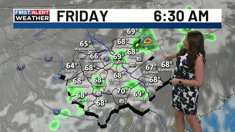
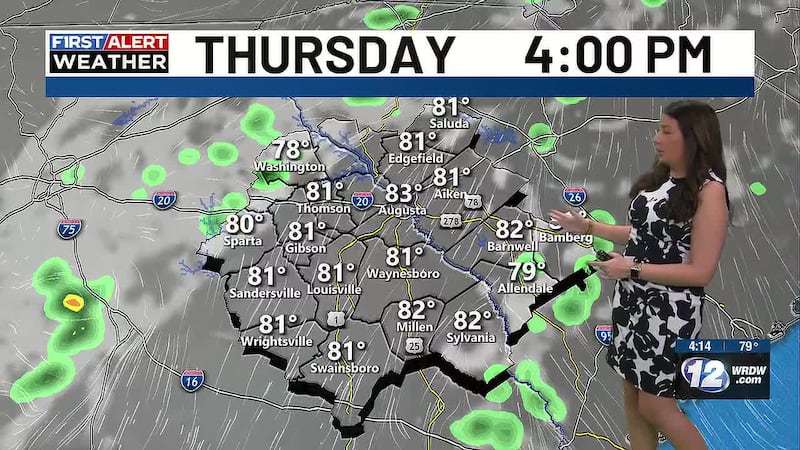
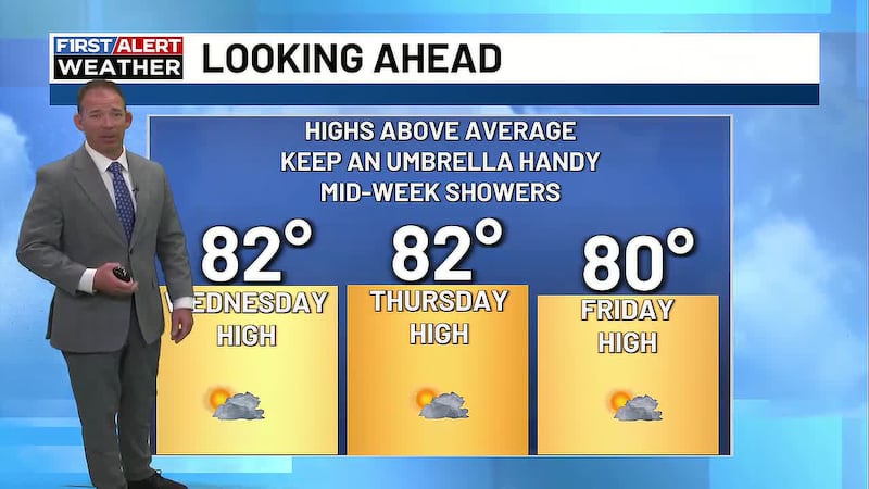
Warm temperatures dominate the rest of the week into this weekend, as highs climb into the upper 70s Wednesday, low 80s Thursday through the weekend. Morning lows will also be well above average in the upper 40s Wednesday morning warming into the lower 60s by Friday and Saturday.
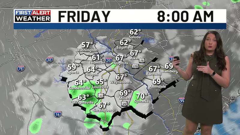
We do expect a bit of an unsettled pattern toward the end of the week, as moisture increases across the region, so there could be a few isolated showers and storms Friday through the weekend. Severe weather threat looks very low with anything that pops up, but we will be watching closely.
Copyright 2026 WRDW/WAGT. All rights reserved.