First Alert Forecast |Storms possible through Saturday. FIRST ALERT Monday & Tuesday
Marginal severe weather risk in effect today. FIRST ALERT issued Monday - Tuesday for potential tropical impacts
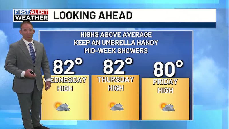
AUGUSTA, Ga. (WRDW/WAGT) - A cold front will move into the region Thursday and bring the chance for scattered showers and storms through Saturday. Some storms could be severe. Stay weather aware! We’ve issued a FIRST ALERT for next Monday and Tuesday for potential impacts from a tropical system. The track and intensity of that system will determine our impacts and it’s too soon to know where exactly that storm is going and how strong it will be. Stay updated on the forecast the next few days.
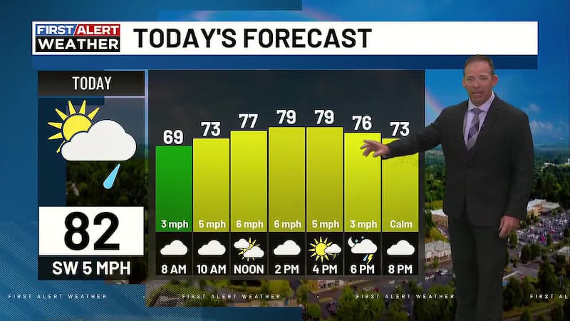
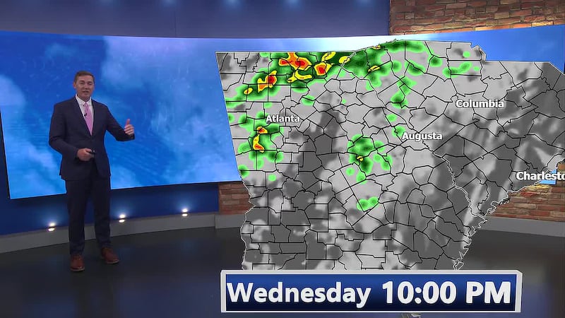
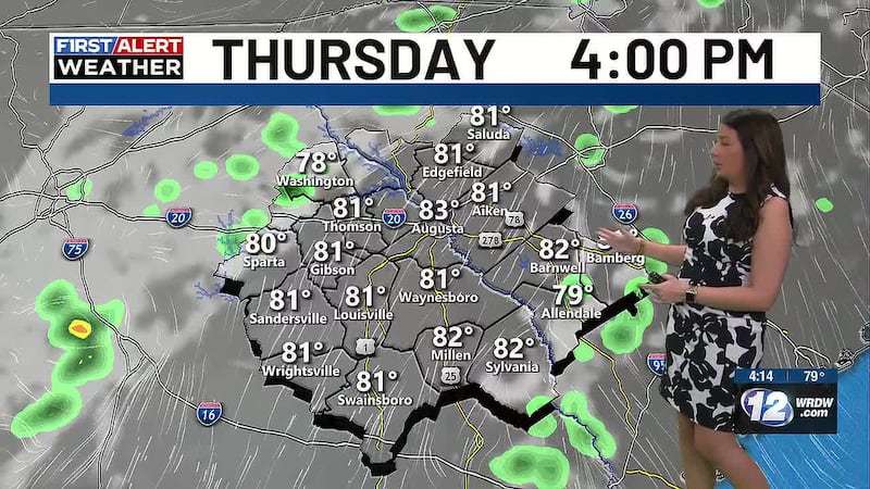
In the near term, we are expecting widely scattered showers and storms to be moving through the CSRA through sunset. Some storms could be strong to severe - main concern would be damaging straight line wind. It will also be breezy with sustained wind out of the southwest between 10-15 mph and gusting higher.
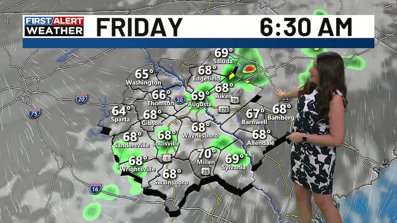
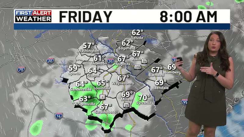
A few showers and storms will remain possible into tonight and Friday morning. Morning lows Friday will be close to 70 once again with most of the CSRA still ahead of the front. The cold front will slowly push east during the day Friday keeping the chance for showers and storms in the afternoon. Highs will be cooler Friday in the mid-80s.
Saturday looks to remain wet across the region with a closed upper level low centered over the Southeast. This will provide ingredients for scattered showers and storms to form again during the day. Highs will remain in the mid-80s.
Sunday looks drier than Saturday with only the chance for a few isolated showers. Morning lows Sunday will be in the mid-60s and afternoon highs will be in the mid-80s.
FIRST ALERT issued Monday and Tuesday for potential tropical impacts from invest 94L (will likely become Imelda). Future tracks for 94L do show landfall somewhere along the South Carolina coast - where exactly it ends up will determine what type of impacts we see. Strong gusts and heavy rain look possible if the track stays further down the South Carolina coast. STAY UPATED ON THE FORECAST THE NEXT FEW DAYS.
Copyright 2025 WRDW/WAGT. All rights reserved.