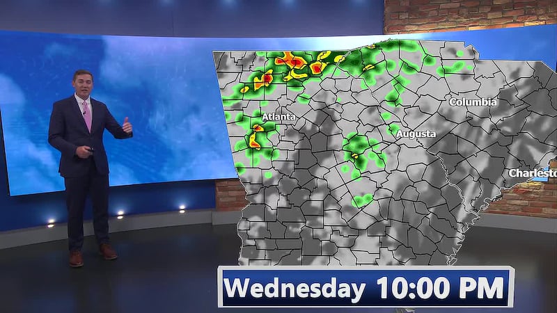
First Alert Forecast |Tracking Rain mid week. Hot afternoons through Thursday.
Hot start to Fall for the next few days.
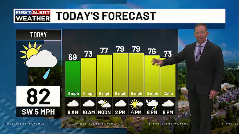
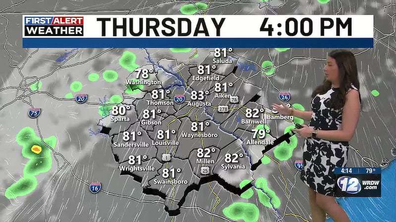
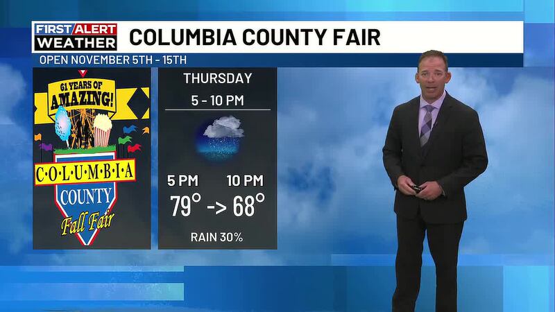
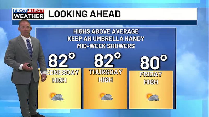
AUGUSTA, Ga. (WRDW/WAGT) - High pressure strengthens through today, so rain chances will be very slim with high temperatures staying above average each day. A cold front will move into the region late Thursday and bring the chance for scattered showers and storms through Saturday.

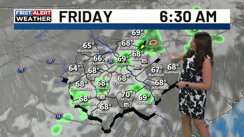
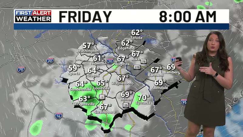
First half of the week will be hot and dry with highs in the 90s. Morning lows will be warming to near 70 Thursday and Friday.
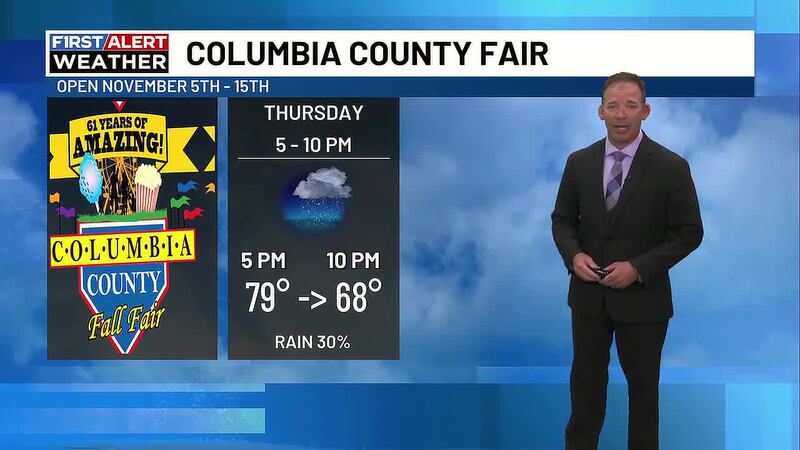
A trough of low pressure in the jet stream builds over the eastern U.S. by Thursday and Friday, bringing a cold front with improving rain chances and slightly cooler temperatures to our area late Thursday into the weekend.
The highest chance of rain comes Thursday night into Friday as a cold front moves through the CSRA. A few showers may linger into Saturday with drier conditions returning Sunday with highs in the middle 80s. Keep it here for updates.
Copyright 2025 WRDW/WAGT. All rights reserved.