Daily forecast | From First Alert Meteorologist Tim Strong
Highs near 90 next few days. Scattered storms expected today, but looking drier Wednesday.
AUGUSTA, Ga. (WRDW/WAGT) - Higher storm chances expected today as weak backdoor cool front passes into the region. Drier again Wednesday before increased storm chances return towards the end of the week.
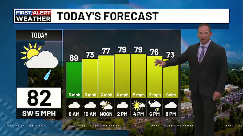
Today will be dry initially, but we are expecting scattered showers and storms by the afternoon as a weak front moves in from the northeast. Highs will be in the upper 80s, but feel like temperatures will be in the mid-90s.
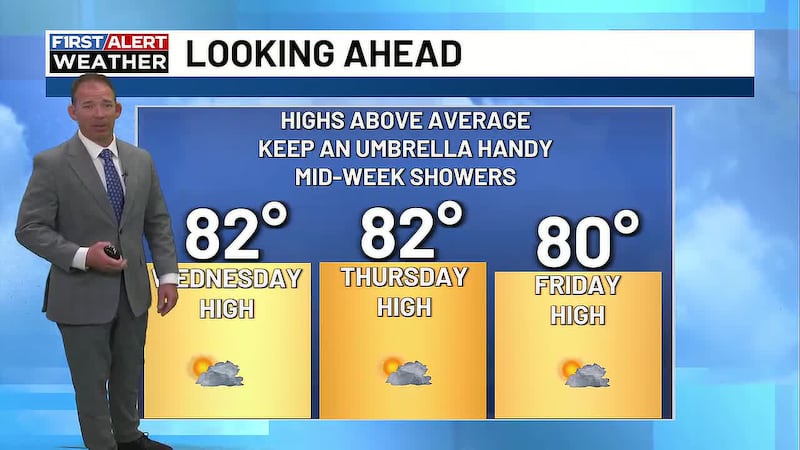
Wednesday looks like a typical summer day with partly sunny skies and only isolated afternoon storms with highs near 90. We are expecting a steady wind out of the northeast as Erin passes well off the Southeast coast. Gusts could get to 15-20 mph - nothing more than a nice summer breeze for the CSRA.
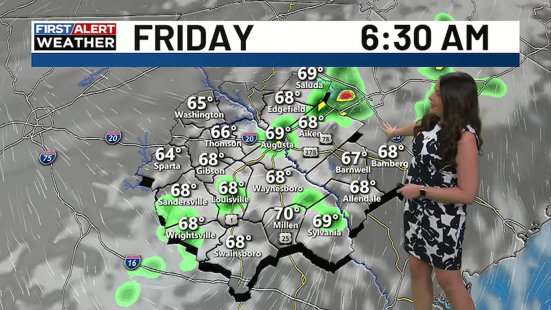
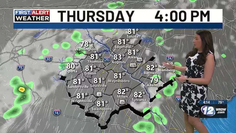
The wettest weather of the week ahead will likely be Thursday and Friday lasting into next weekend, as a ridge of high pressure aloft is replaced by a trough of low pressure.
We also continue to track Hurricane Erin which is a Category 4 hurricane with max winds at 140 mph. The forecast from the National Hurricane Center remains constant keeping the storm away from the U.S. coast, although high surf and dangerous rip currents can be expected along the Carolina, Georgia and Florida coast.
Copyright 2025 WRDW/WAGT. All rights reserved.