Daily forecast | From First Alert Meteorologist Tim Strong
Low flood risk continues today. Humid and hotter next few days.
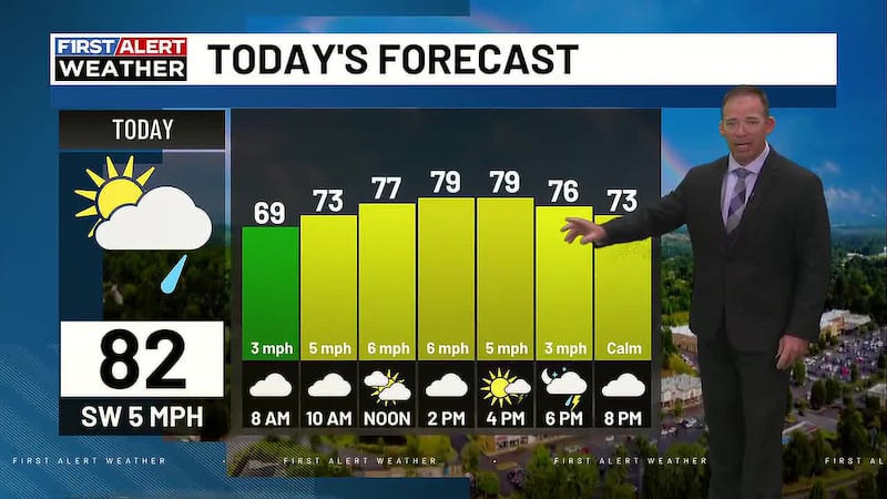
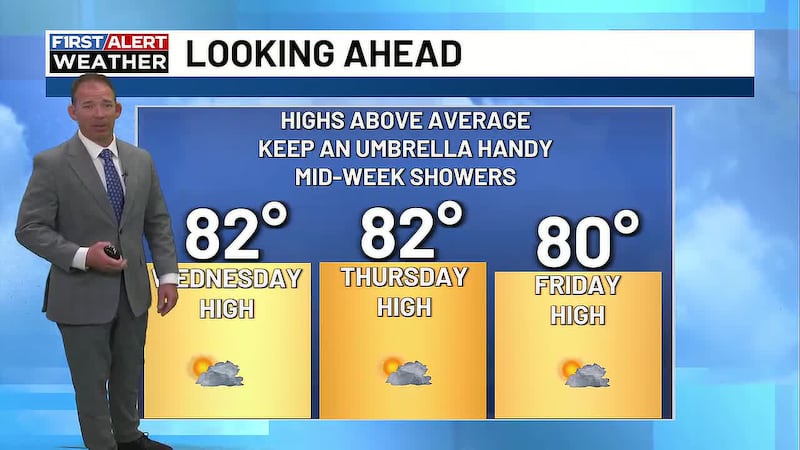
AUGUSTA, Ga. (WRDW/WAGT) - Winds are finally shifting away from the northeast and will be more southeasterly to southwesterly through the rest of the week bringing warmer temperatures back to the region. Daily opportunities for rain, but no one day looks like a washout.
There is a marginal flood risk across the region today (level 1 out of 4). Downpours and storms will be isolated to widely scattered through Friday.
Heat index values will vary over the next several day between 98-103°+. Make sure to stay hydrated with plenty of hydrating fluids if you’re going to be playing sports or working outside.
A more normal summer pattern returns today through Friday, meaning we can expect more sunshine and seasonably hot temperatures in the lower 90s with only isolated to widely scattered thunderstorms each afternoon and early evening. The risk for heavy rain in any storms that form will keep a marginal flood risk in play most days this week. A marginal risk means localized flooding is possible in a few isolated areas, but mainly for flood prone spots.
Tropical Storm Erin has formed near the Cape Verde Islands and will continue west in the Atlantic Ocean this week. This storm is forecast to become a major hurricane this weekend and be just north of the British Virgin Islands. It is still well too far away to know how this system could or could not impact the US, but we will be watching trends throughout the week.
Copyright 2025 WRDW/WAGT. All rights reserved.