Daily forecast | From First Alert Meteorologist Tim Strong
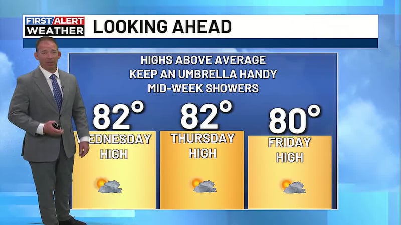
Flood risk through this evening. Cooler than average all week. Keep an umbrella handy.
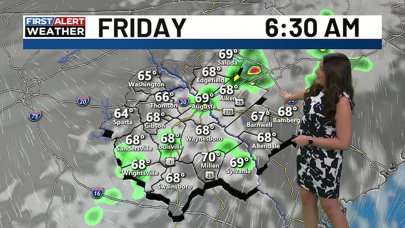
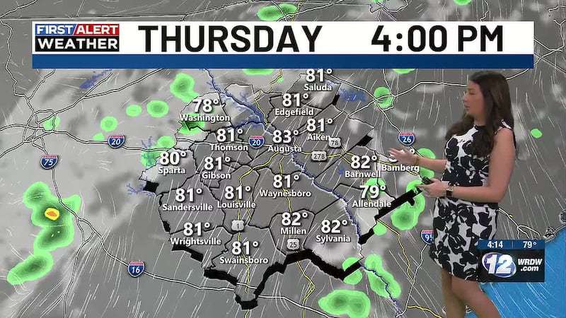
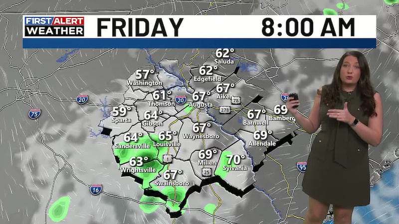
AUGUSTA, Ga. (WRDW/WAGT) - FIRST ALERT in effect through this evening for the risk of flash flooding. Temperatures will stay below average for the next 7 days. Daily rain chances continue through this weekend.
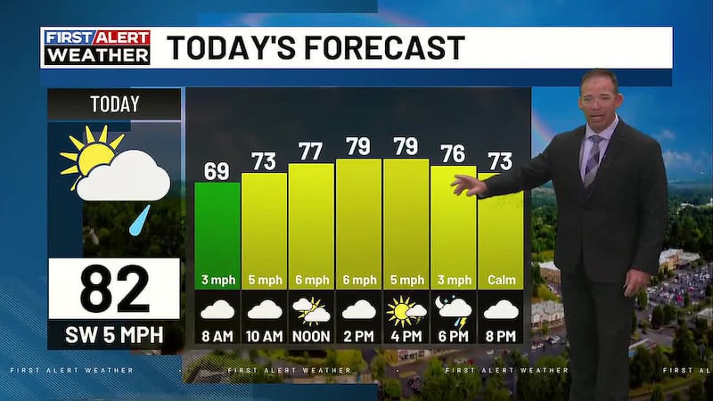
A pattern meteorologists refer to as the “wedge” has settled into the region. This happens when surface high pressure builds over the Northeast US,, giving our region a cool northeasterly breeze. Meanwhile, the flow aloft remains warm and moist out of the southwest. The result is a cloudy, cool and at times wet pattern that will persist today - keeping rain in the forecast and high temperatures only in the mid-70s.

,
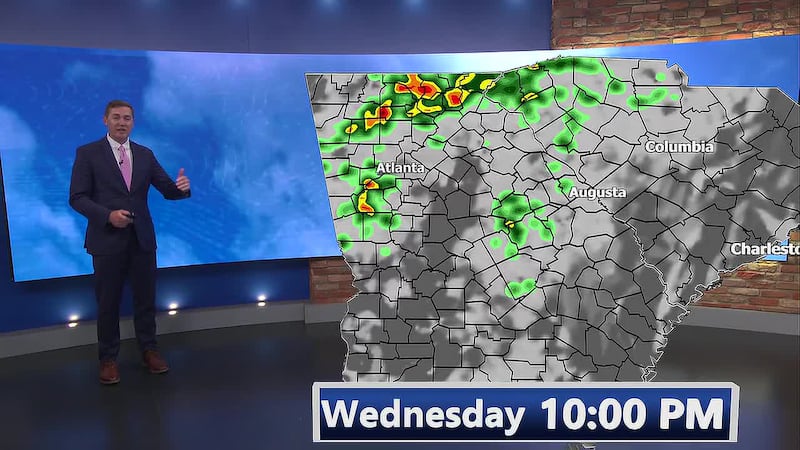
The wedge continues today keeping temperatures cooler than normal and rain chances high. A FLOOD WATCH has been issued for most of the western CSRA through this evening. A watch means conditions are favorable for flooding to occur. Rain totals will likely be between 1-3″ for most of the CSRA through tonight, but there could be isolated spots that see over 4″, which is why the flood watch is in place. We’ve issued a FIRST ALERT for this threat of flooding through this evening. Never drive through a flooded road! Rain is expected be on and off all day long Tuesday and will likely be heavy at times.
Temperatures will continue to be below average Wednesday through Sunday in the mid to upper 80s. Scattered showers and storms are expected each day, mainly in the afternoon and evening. Stay weather aware!
Be sure to download our app for the very latest!
Copyright 2025 WRDW/WAGT. All rights reserved.