Daily forecast | From First Alert Meteorologist Tim Strong
First Alert today and Thursday! Storms likely to be strong to severe.
AUGUSTA, Ga. (WRDW/WAGT) - Our high pressure ridge (aka heat dome) will break down Wednesday and lead to higher storm chances and more seasonal temperatures. This pattern will continue into Friday before another ridge builds over the region this weekend.
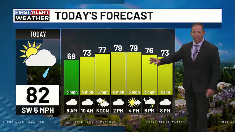
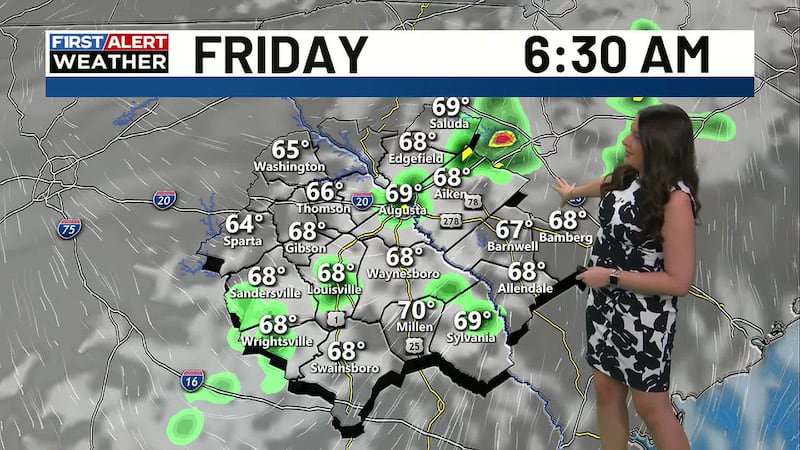
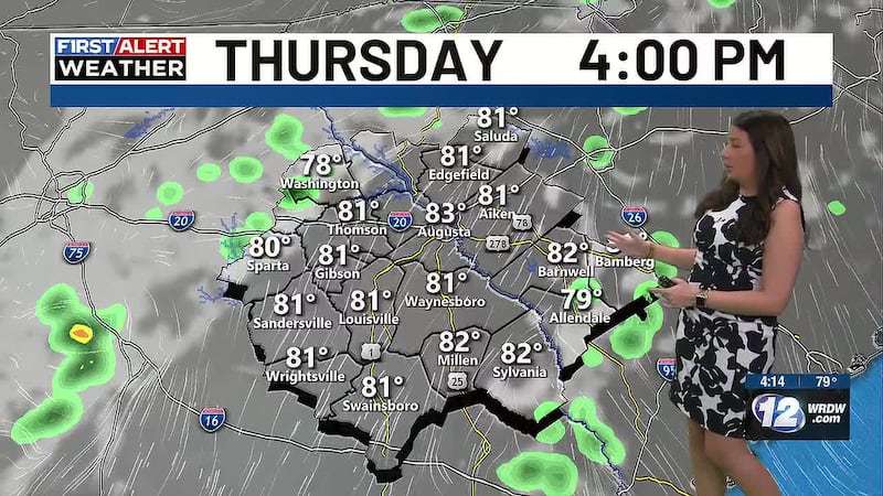
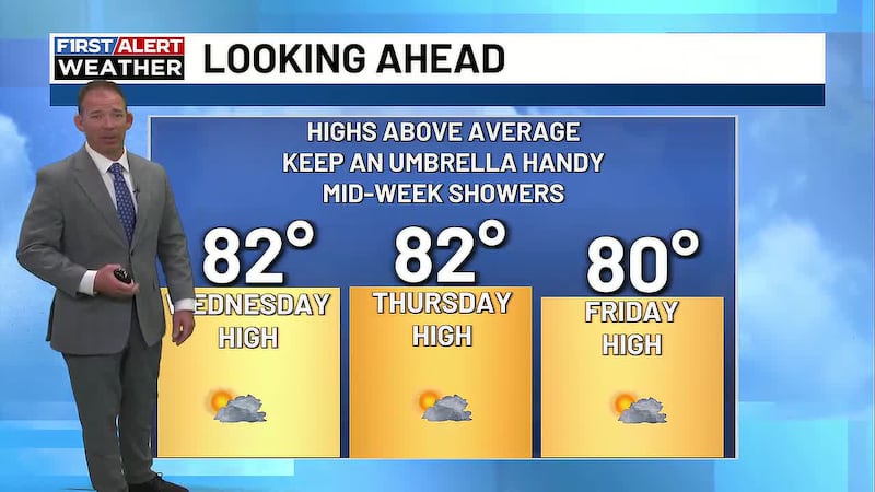
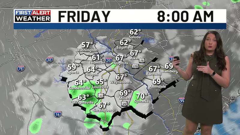
The heat dome will be replaced by a trough of low pressure today, Thursday, and Friday resulting in increased cloud cover, higher rain chances and seasonal temperatures. Highs today, Thursday and Friday will be in the lower to middle 90s.
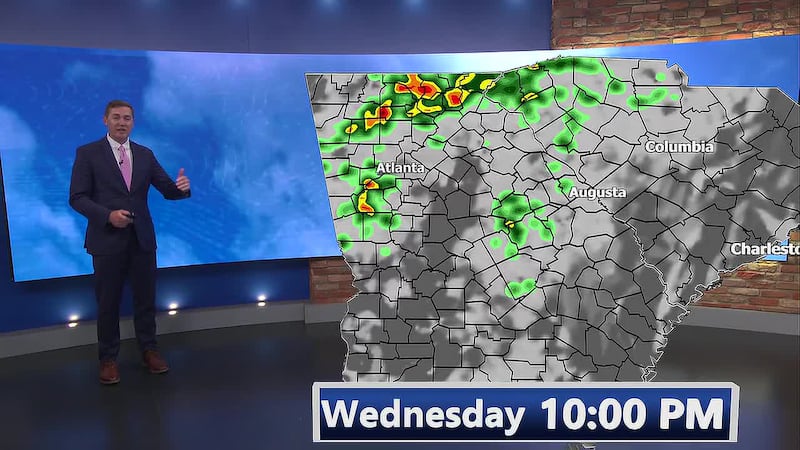
A First Alert is in effect today and Thursday for strong to severe storms.

There is a marginal risk for severe storms today and a slight risk Thursday for the risk of isolated damaging wind gusts. Severe weather chances both days will likely be limited in duration and intensity, but stay weather aware for outdoor plans.
Isolated severe weather will likely remain possible through Friday. Stay weather aware.
An upper level ridge will build back over the CSRA this weekend. This will lead to hotter highs in the mid-90s and lower storm chances. A few isolated storms are possible both Saturday and Sunday afternoon, but nothing that you should cancel outdoor plans for. Keep it here for updates during the week.
Copyright 2025 WRDW/WAGT. All rights reserved.